Juniper Bench
An imagined ridge and wash used to explore contour spacing, route hierarchy and the clarity of a field legend.
Make the terrain readable at a glance
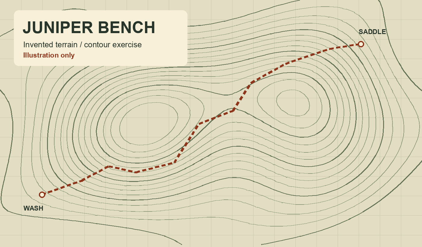
Nested contours wrap around the hill at uneven distances so the steeper face is visibly denser. A shallow depression on the far side gives the main ridgeline a shape a reader can compare with the route on the page.
Give the route a second cue
A dashed orange path, start circle and destination marker stay legible across the relief. The dash pattern still distinguishes the line in monochrome. Place labels are positions in this invented landscape. The drawing carries no coordinate or distance for navigation.